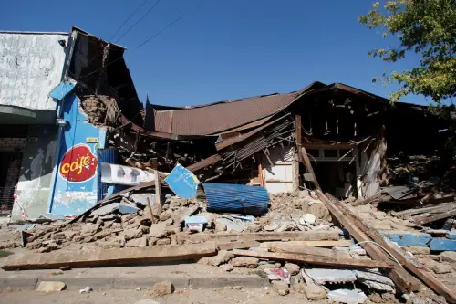
Fifteen years ago, on February 27, a devastating 8.8 magnitude earthquake struck southern Chile off the coast of Concepcion, shaking the ground for four minutes and triggering a tsunami that resulted in 550 fatalities. This event marked the deadliest natural disaster in the country since the record-breaking 1960 9.5 magnitude earthquake. Scientists now predict a major earthquake in Chile's mineral-rich north.
Chile, the world's leading copper producer and second-largest lithium producer, houses its main copper mines and lithium production in the northern region. Seismologist Felipe Leyton from the University of Chile highlighted the accumulation of geological stress in certain areas through fault lines, indicating the potential for a significant earthquake in the near future.
Situated on the seismically active Ring of Fire encircling the Pacific Ocean, Chile's geographical features, such as its mountains and earthquakes, are a consequence of the collision between the Nazca and South American tectonic plates that run along the length of the country. Dr. Mohama Ayaz, a geologist and geospatial engineer at the University of Santiago of Chile, emphasized the role of GPS technology in monitoring plate movements to anticipate seismic events based on variations in stress accumulation since the last earthquake.
Ayaz underlined the absence of a major seismic event in the northern region akin to the one in the south in 2010, suggesting the likelihood of an earthquake in the north in the near future, without specifying a precise timeline.